


Urban Technology Lab
Technology to improve our cities and protect our environment
We support organizations, communities and people working on urban development and environmental conservation, with up to US$5,000 in technology development for each project.
Submit your idea An initiative of Vela Dynamics, in collaboration with Goat Maps.
The opportunity
Our cities' challenges need new tools
Many organizations know their communities' problems well, but lack the technical resources to build the solutions they imagine. We want to help close that gap.
We are looking for projects that use technology to improve urban life, protect the environment and give communities better tools to take part in the decisions that affect them.
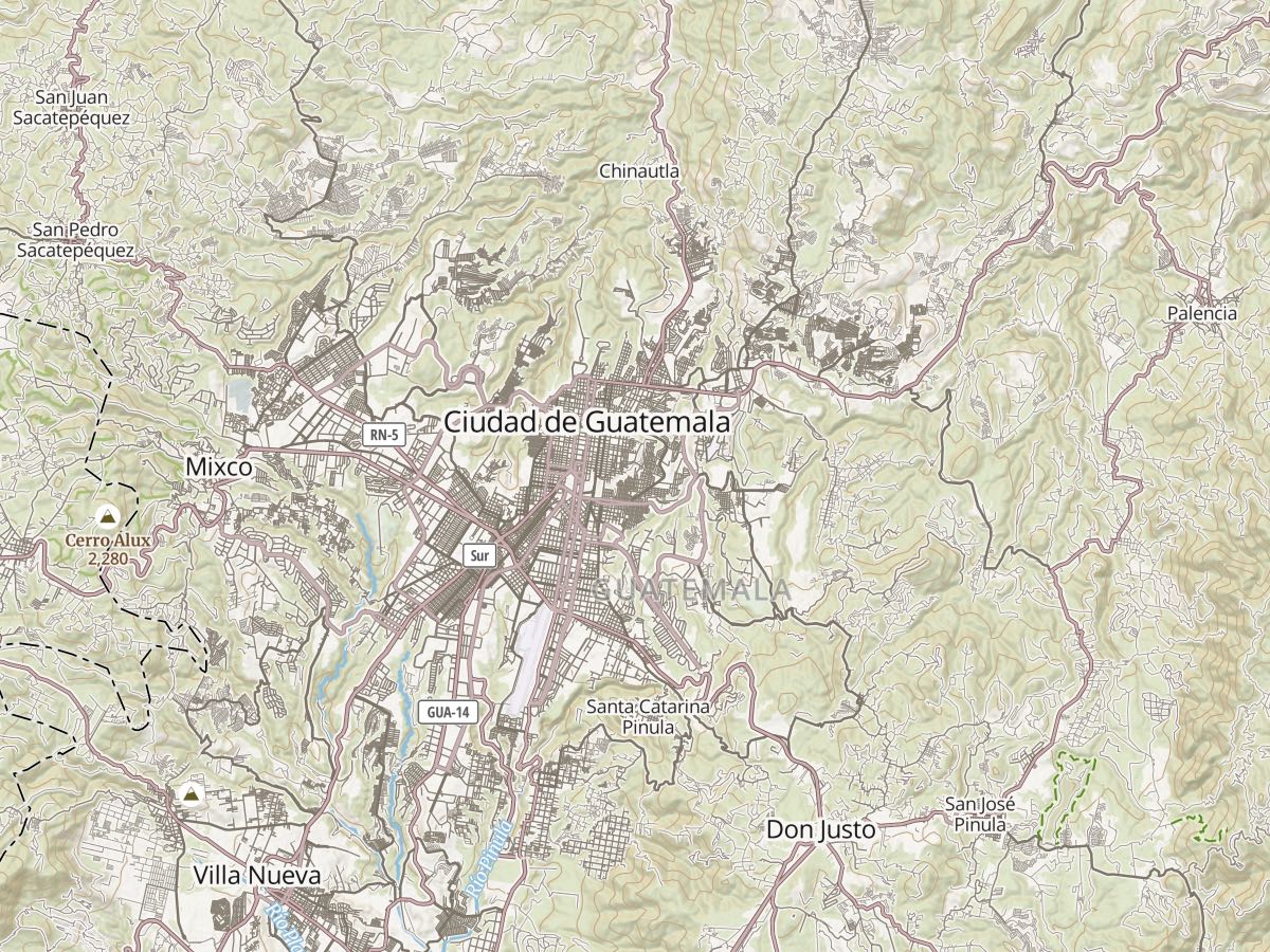
Most of these problems are tied to a place: the street that floods, the neighborhood the bus doesn't reach, the forest that is shrinking. That is why we work with Goat Maps: any project can use maps, routes and geographic data to show where things happen and decide where to act.

Photo: Emmanuel Mejia Chang on Unsplash
Projects
What kind of projects are we looking for?

Community participation
Platforms where neighbors can report problems, share proposals and take part in planning their communities.
Photo: Dario Valenzuela on Unsplash

Environment and conservation
Ecosystem monitoring, protection of green areas, reforestation and conservation tools built on geographic data.
Photo: Azzedine Rouichi on Unsplash


Urban resilience
Community tools to document environmental risks, improve preparedness and support climate adaptation.
Photo: Aldward Castillo on Unsplash
Something else?
These are examples, not a closed list. We want to hear your idea.
Submit your idea →Technology
Technology made for our communities
Not every solution needs a complex app. Sometimes a map, an accessible form or a WhatsApp conversation can change the way an organization works.
-
WhatsApp as the meeting point
People take part, share information and get updates in a tool they already use.
-
Works on slow connections
Light sites and apps, designed for inexpensive phones and limited networks.
-
In each community's language
Multilingual tools that make it easier for people who speak different languages to get access and take part.
-
Maps that help make decisions
Geographic data, routes and visualizations to understand the territory and act on it, with the support of Goat Maps.
-
Open and reusable technology
We build on open-source tools, so solutions can be maintained, adapted and put to use by more communities.
The process
How does it work?
- 1
Tell us your idea
Describe the problem you want to solve, who would benefit and how you imagine technology could help.
- 2
We assess the proposal with you
We review ideas on a rolling basis. If your project fits the program, we work with you to define a workable solution and its scope.
- 3
We build a pilot project
Selected projects receive up to US$5,000 in credits for software development, integrations, hosting, tools and technical support, according to their needs.
- 4
We share what we learn
Solutions built through the program are open source, with data published openly whenever it is safe and appropriate, so other communities can use and improve the work.
Eligibility
Who can take part?
The lab is open to anyone with a proposal that creates a public benefit.
You don't need experience building software or a defined technical solution.
We currently accept proposals from Mexico, Guatemala, Belize, El Salvador, Honduras, Nicaragua, Costa Rica and Panama.
We are especially interested in working with:
- Nonprofits and NGOs
- Community organizations and neighborhood groups
- City and municipal government offices
- Universities and researchers
- Urban planners, architects and environmental professionals
- Citizen collectives and independent developers
Do you have an idea to improve your community?
You don't need to prepare a long proposal. Tell us what problem you want to solve and who it could benefit.
We receive and review expressions of interest all year round.
The Urban Technology Lab is an initiative of Vela Dynamics, built with VelaBase and the geospatial capabilities of Goat Maps.
Support is offered as credits for development and technology services, not as a cash grant. Selection and the scope of each project are subject to review and availability.